Locator: JN36lm
Punkte: 2
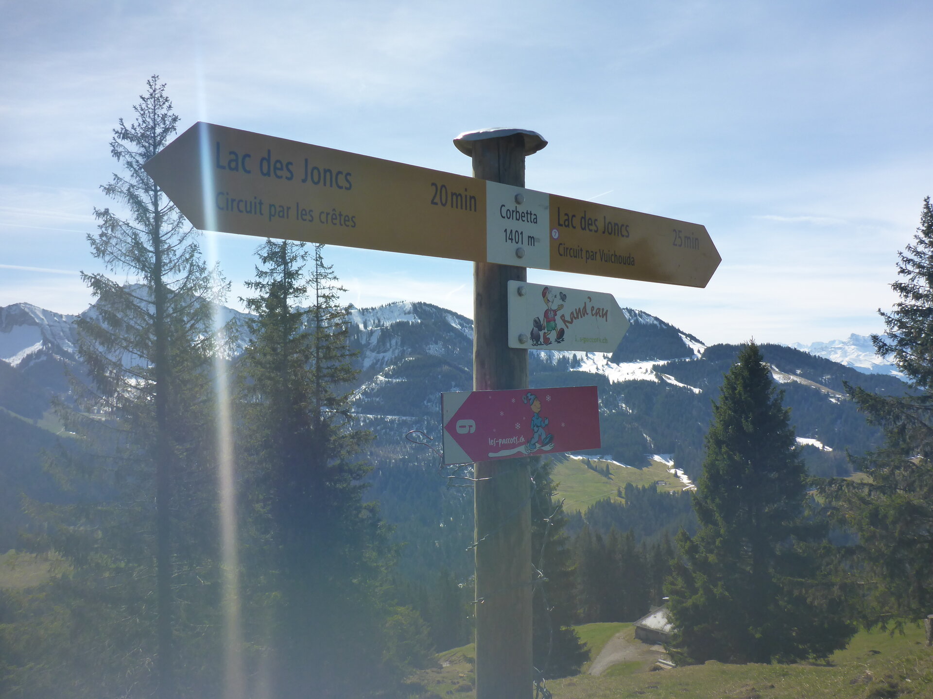
Höhe: 1401 m.ü.M
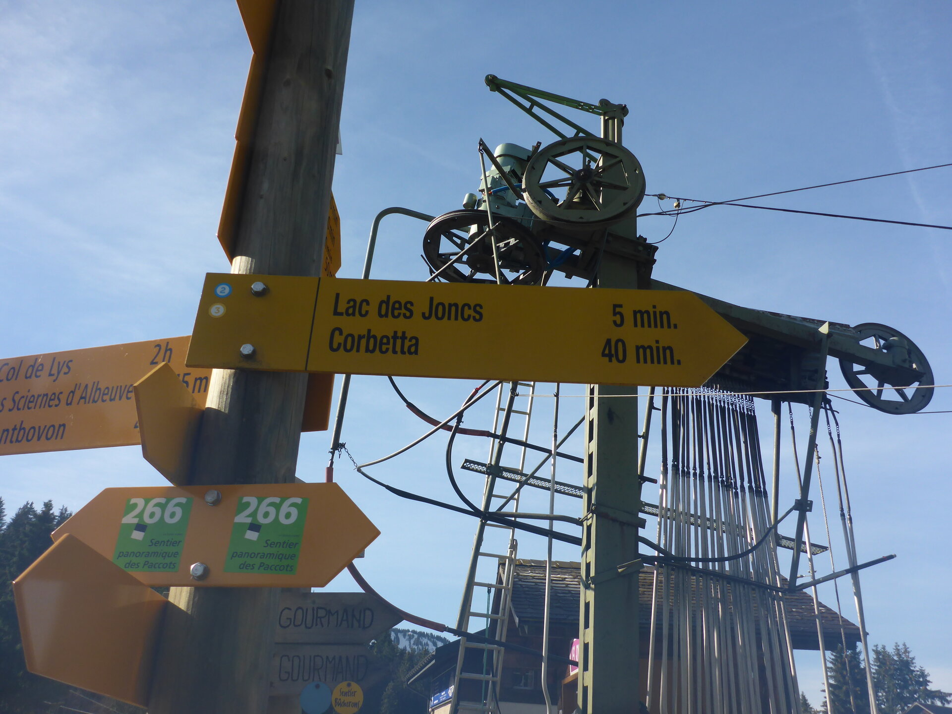
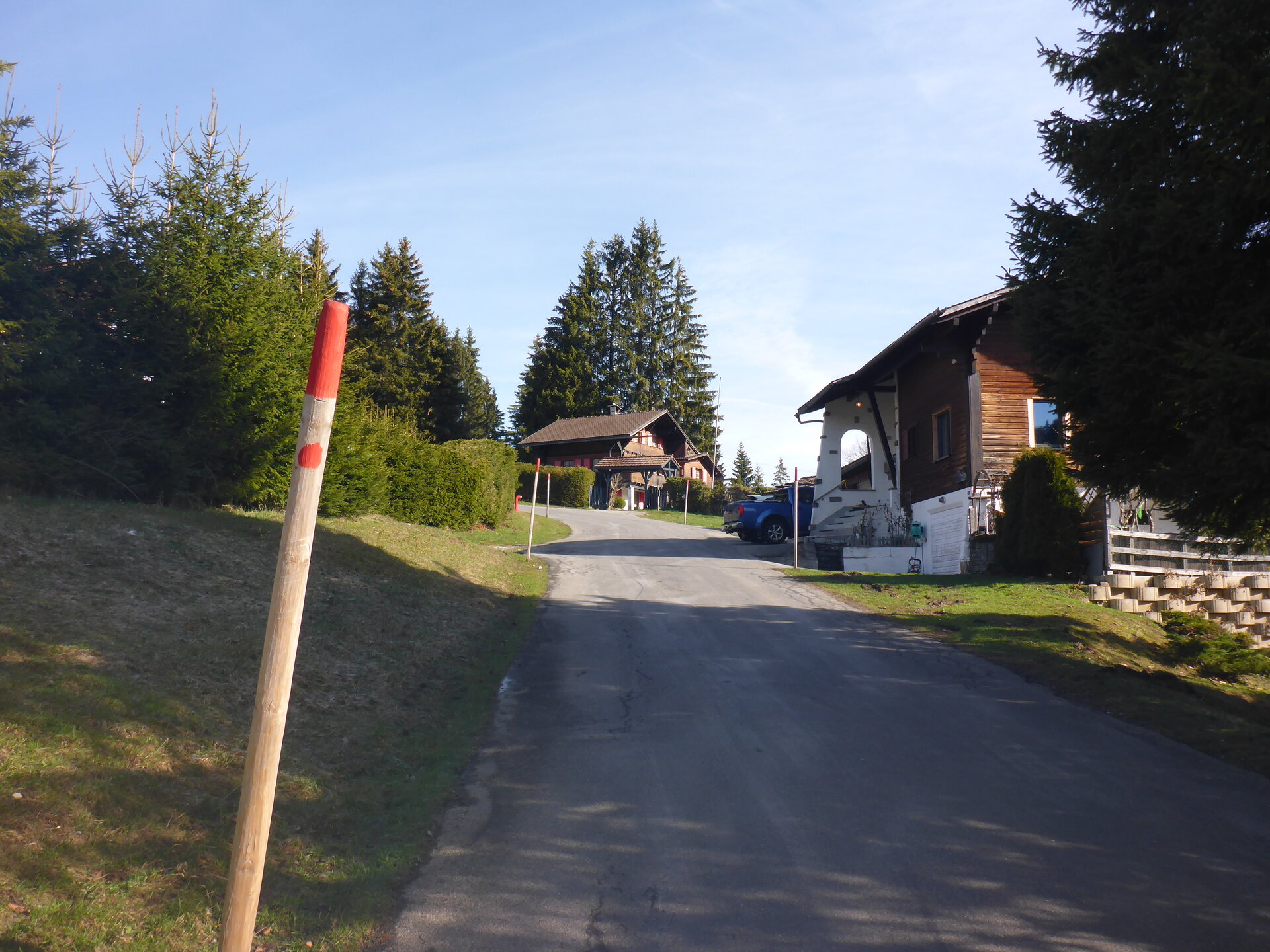
Startpunkt: Bus - Les Paccots, La Borbuintze
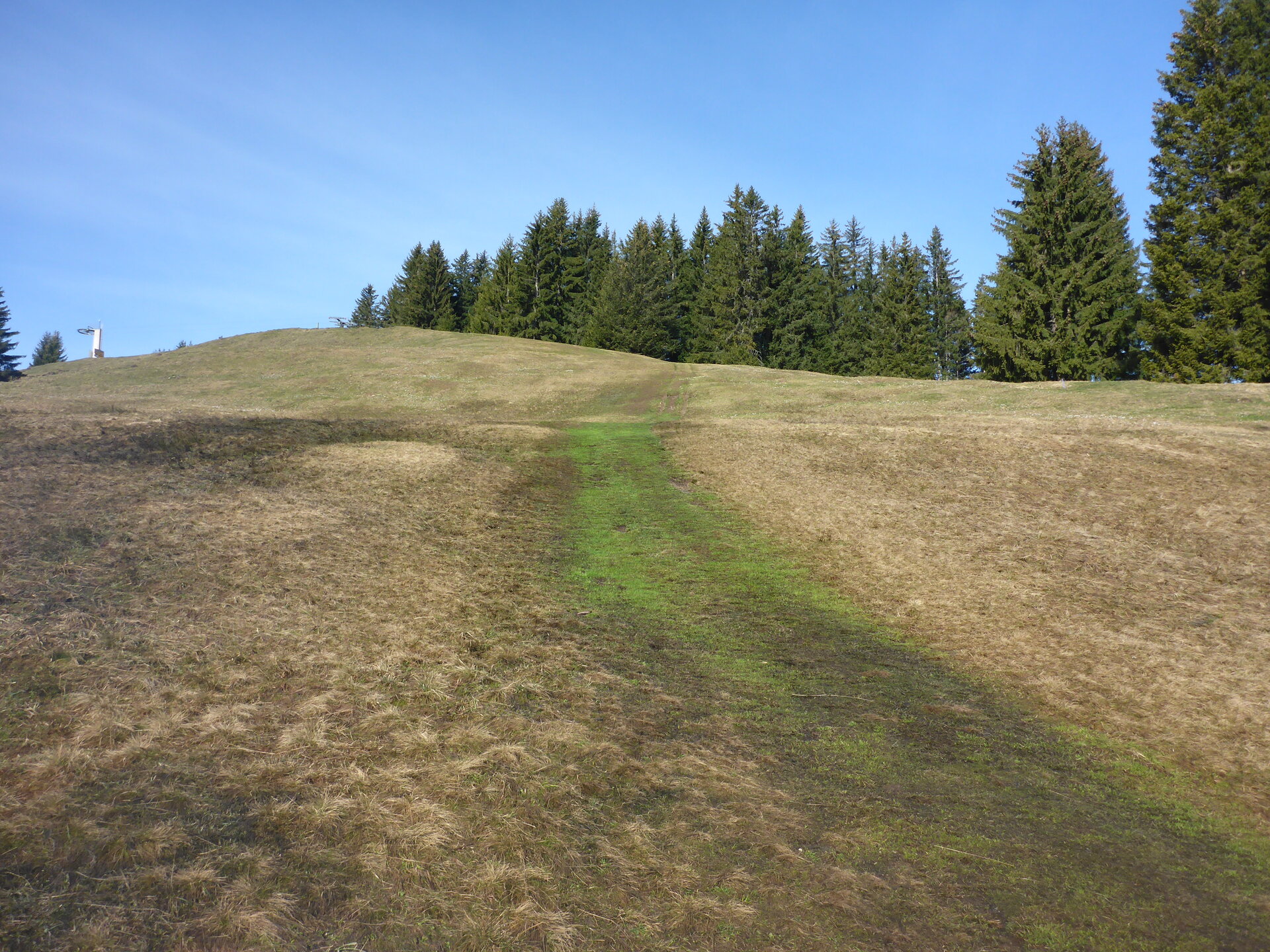
Route: Offizieller Wanderweg
Marschzeit: ~0:40 h
Distanz: 1.54 km
Positiver Höhenunterschied: 195 m
Koordinaten: 46.5123, 6.9351
![]() Swiss Topo: Corbetta
Swiss Topo: Corbetta
![]() Google Maps: Corbetta
Google Maps: Corbetta
![]() SOTLAS: Corbetta
SOTLAS: Corbetta
 SOTA: Corbetta
![]() Webcam: In der Nähe
Webcam: In der Nähe
Wetterdaten für Châtel-Saint-Denis
| 2:00 | 5:00 | 8:00 | 11:00 | 14:00 | 17:00 | 20:00 | 23:00 | |
| Samstag | ||||||||
| Sonntag | ||||||||
| Montag | ||||||||
| Dienstag | ||||||||
| Mittwoch | ||||||||
| Donnerstag |
![]() Anfahrt: SBB Fahrplan, bitte hier klicken
Anfahrt: SBB Fahrplan, bitte hier klicken
Strecke als GPX Datei Details zum GPX-File
GSM Empfang:
5 mit Roaming Frankreich (Swisscom)
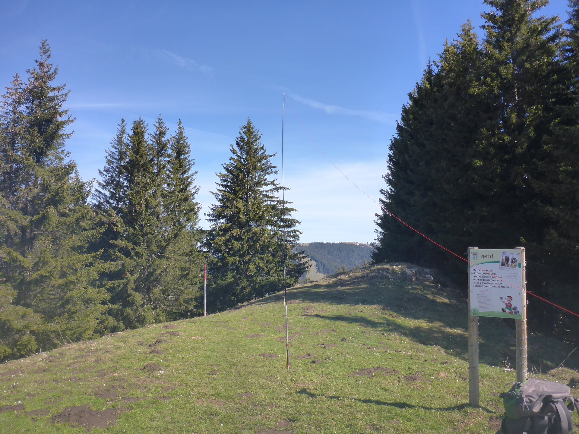
Mast aufstellen:
APRS Verbindung:
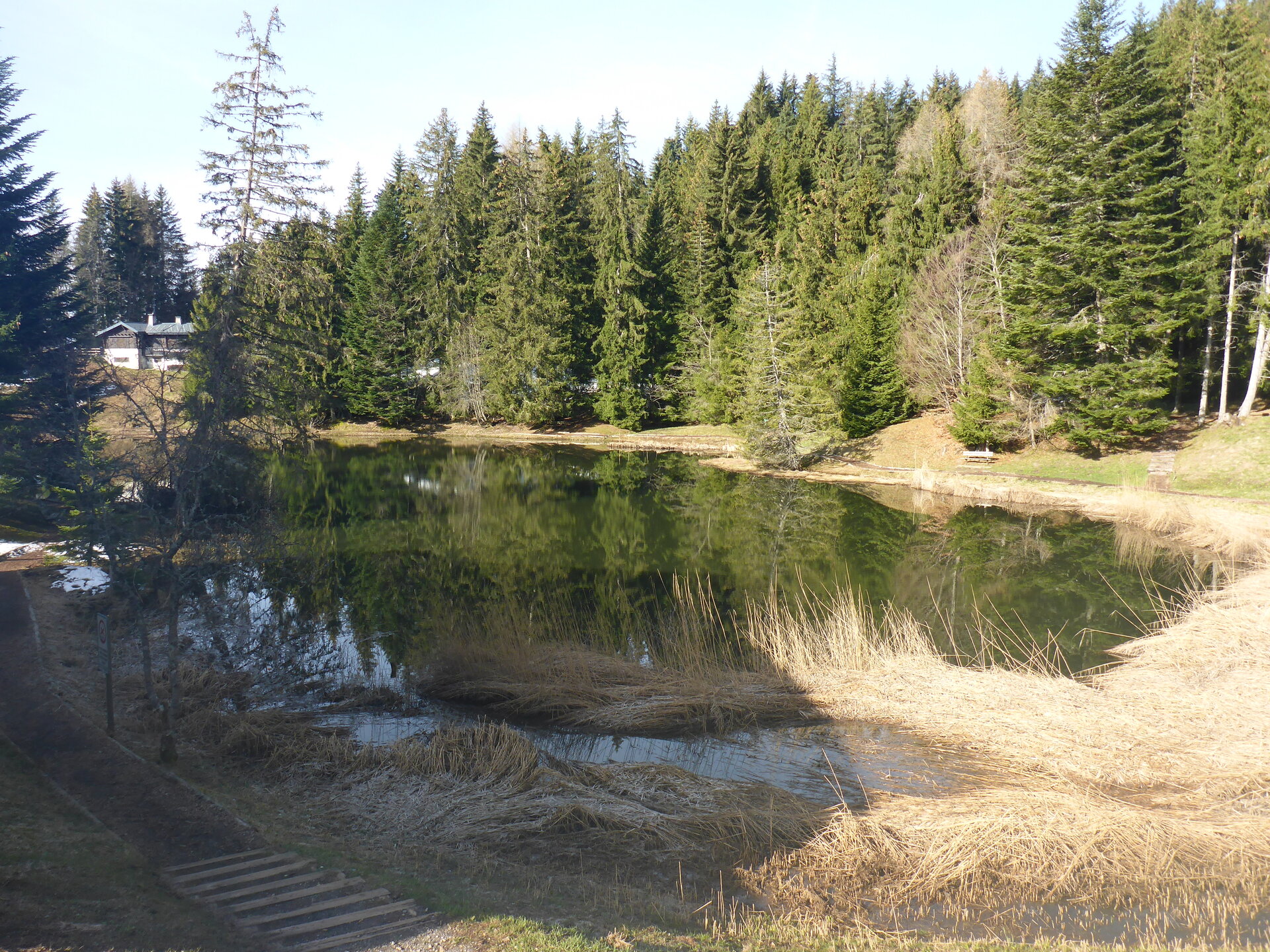
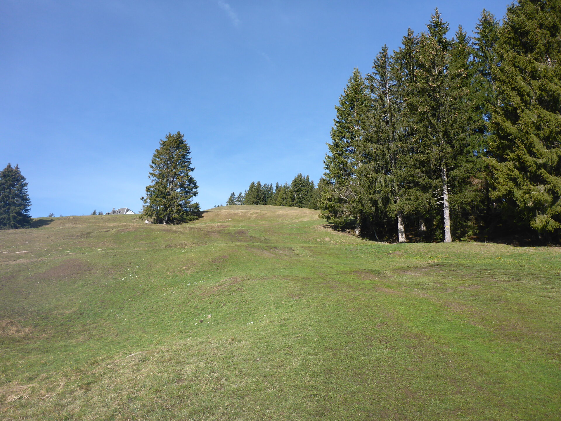
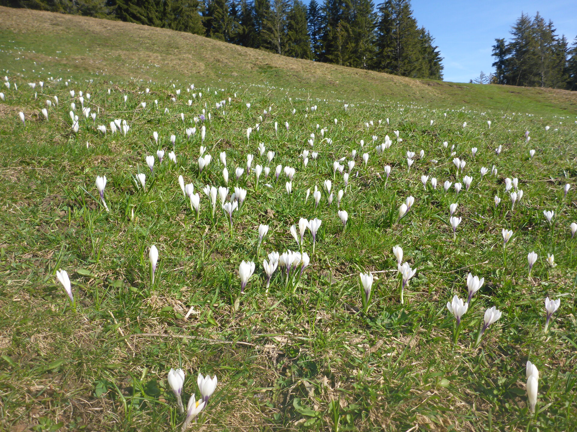
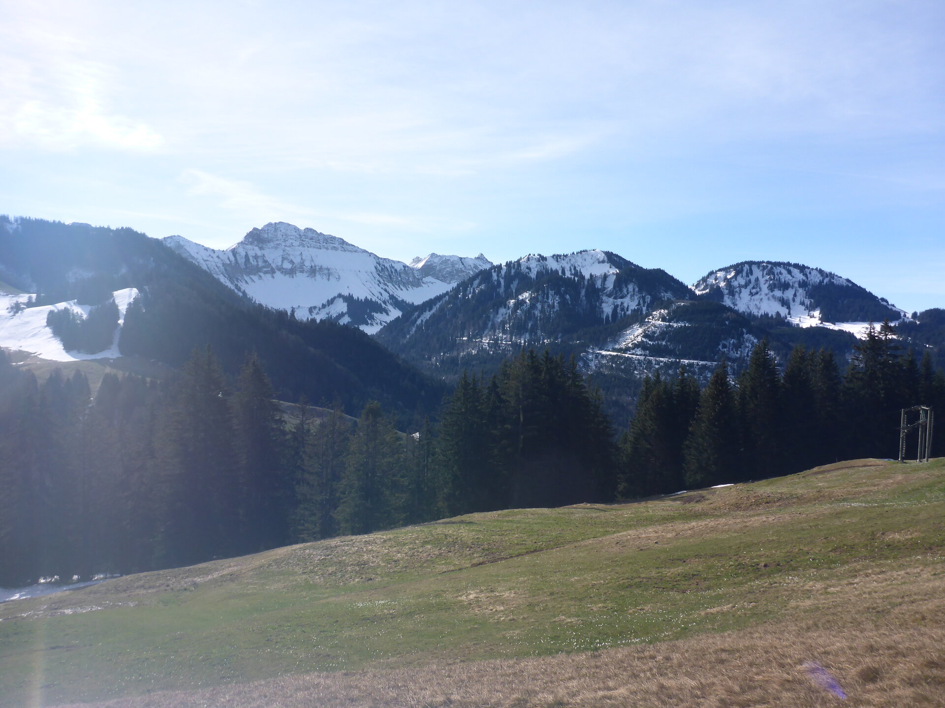
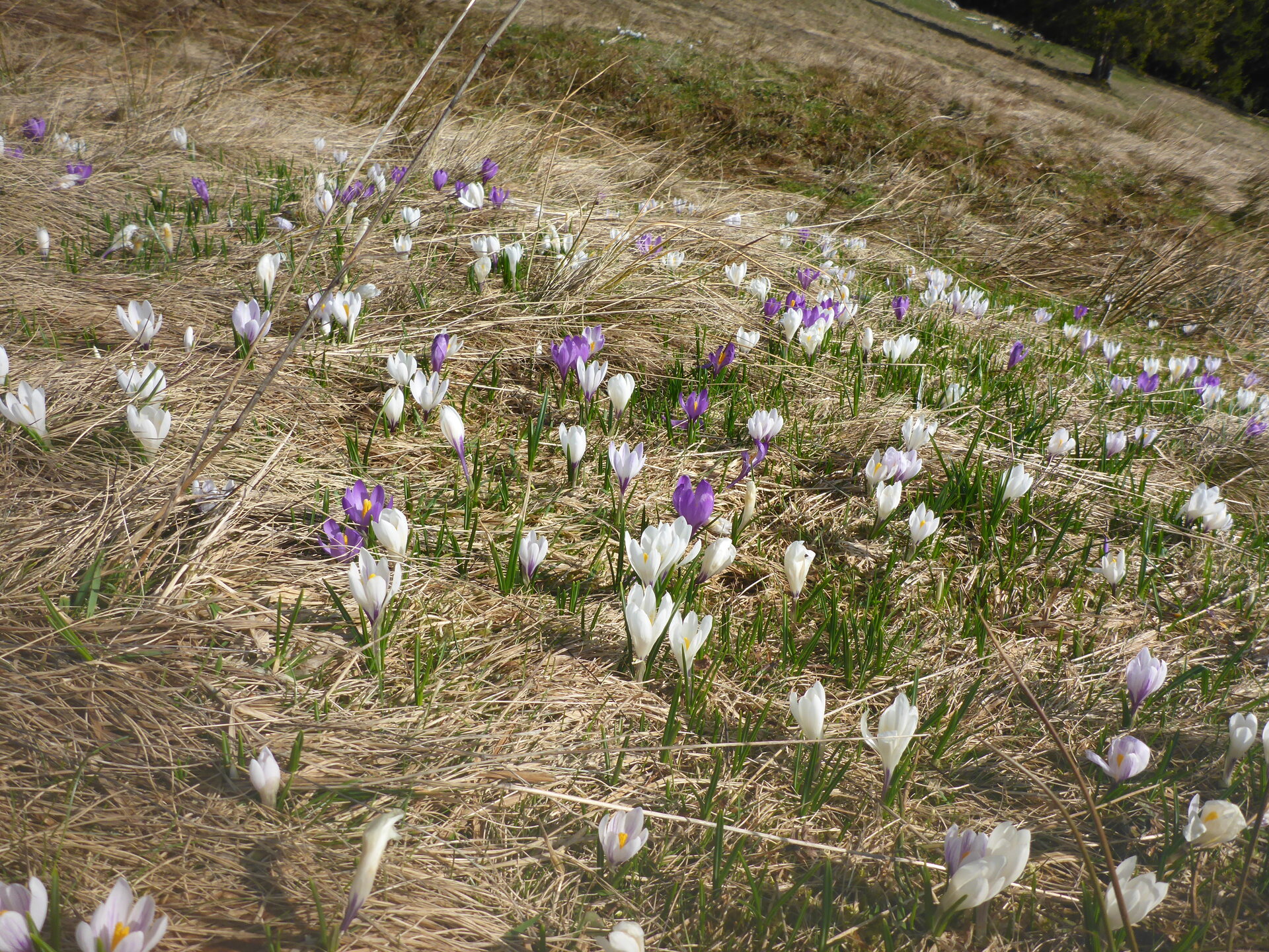
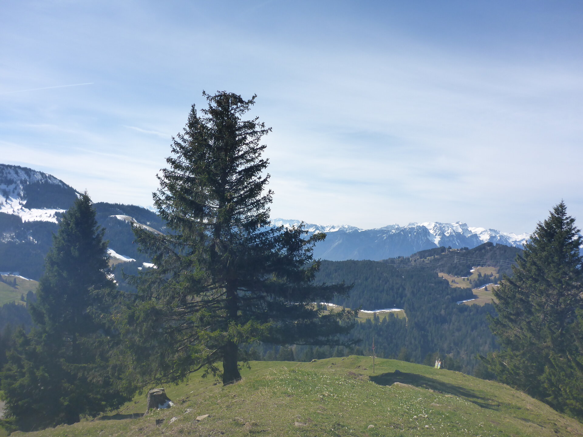
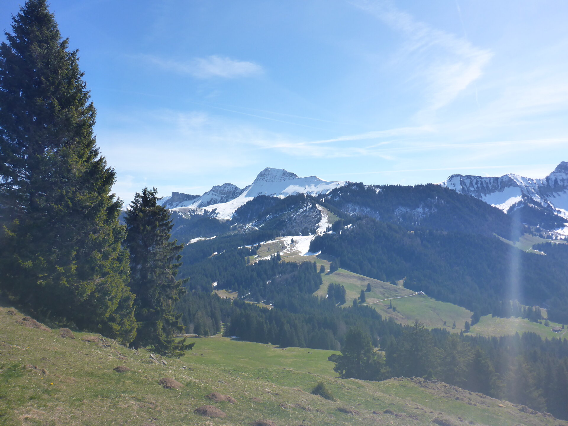
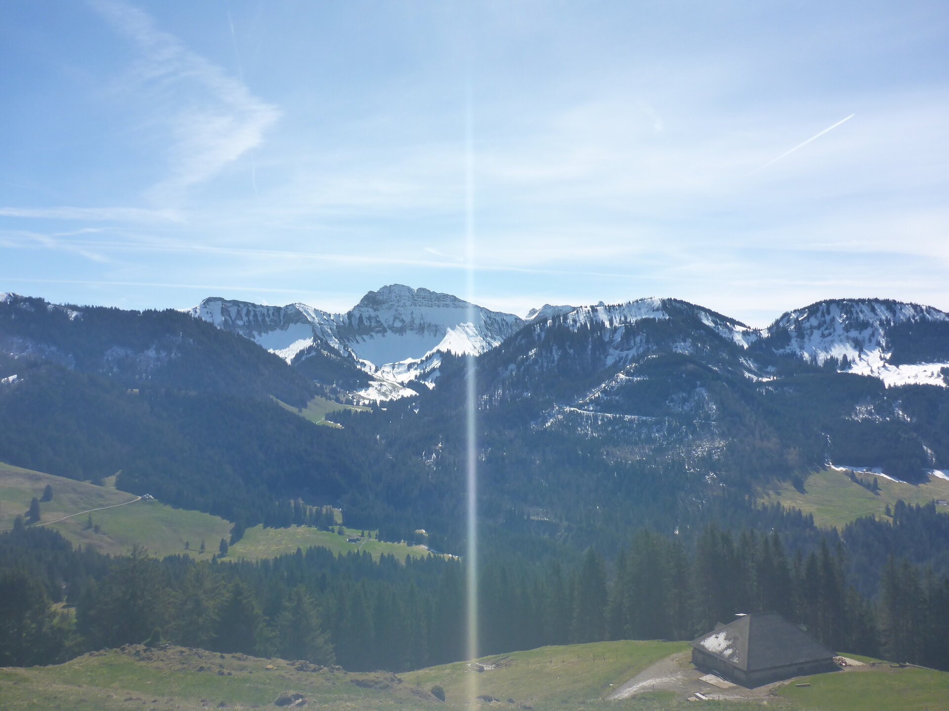
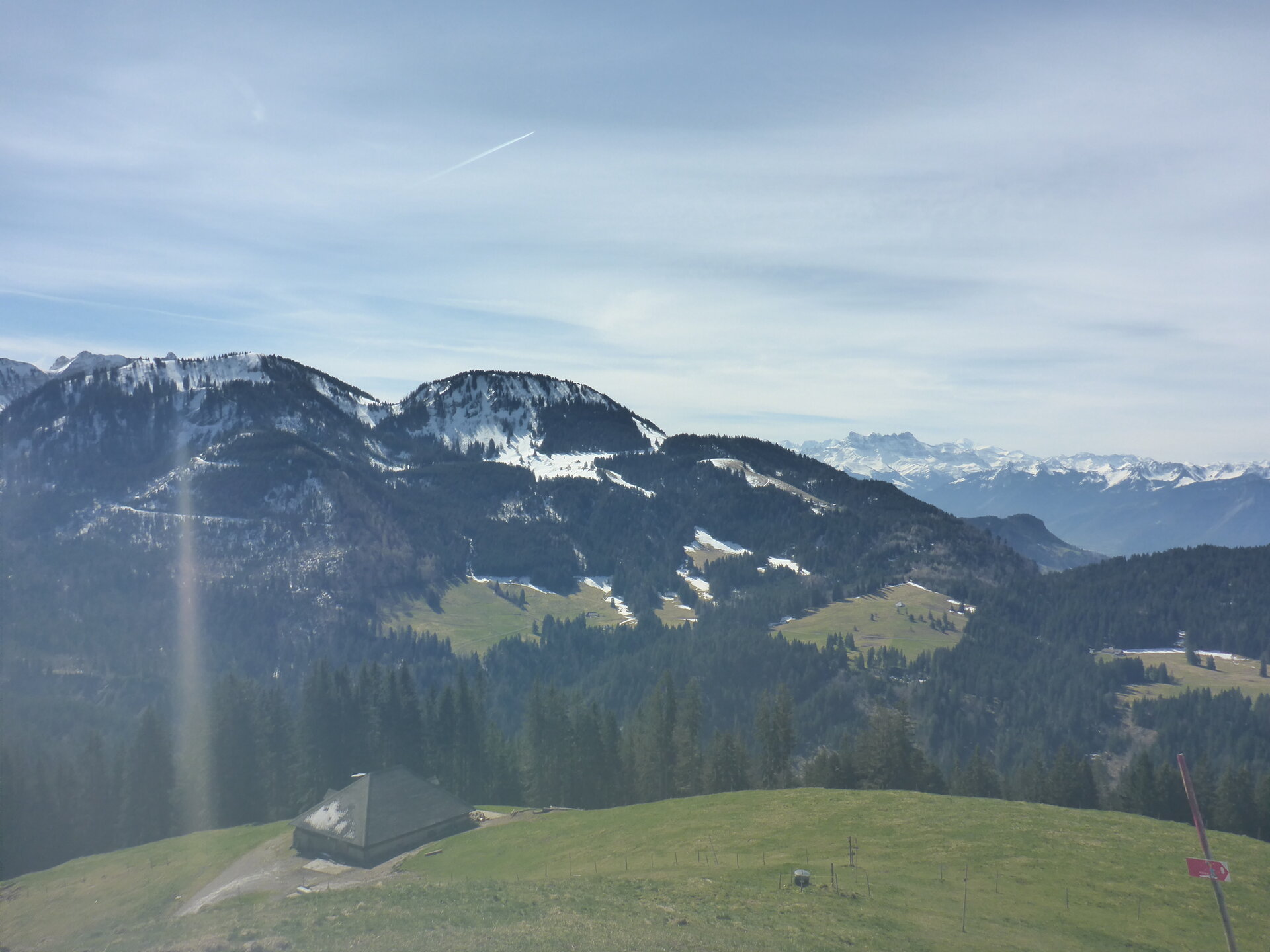
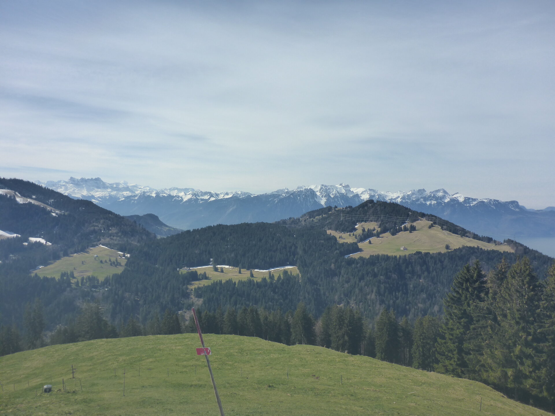
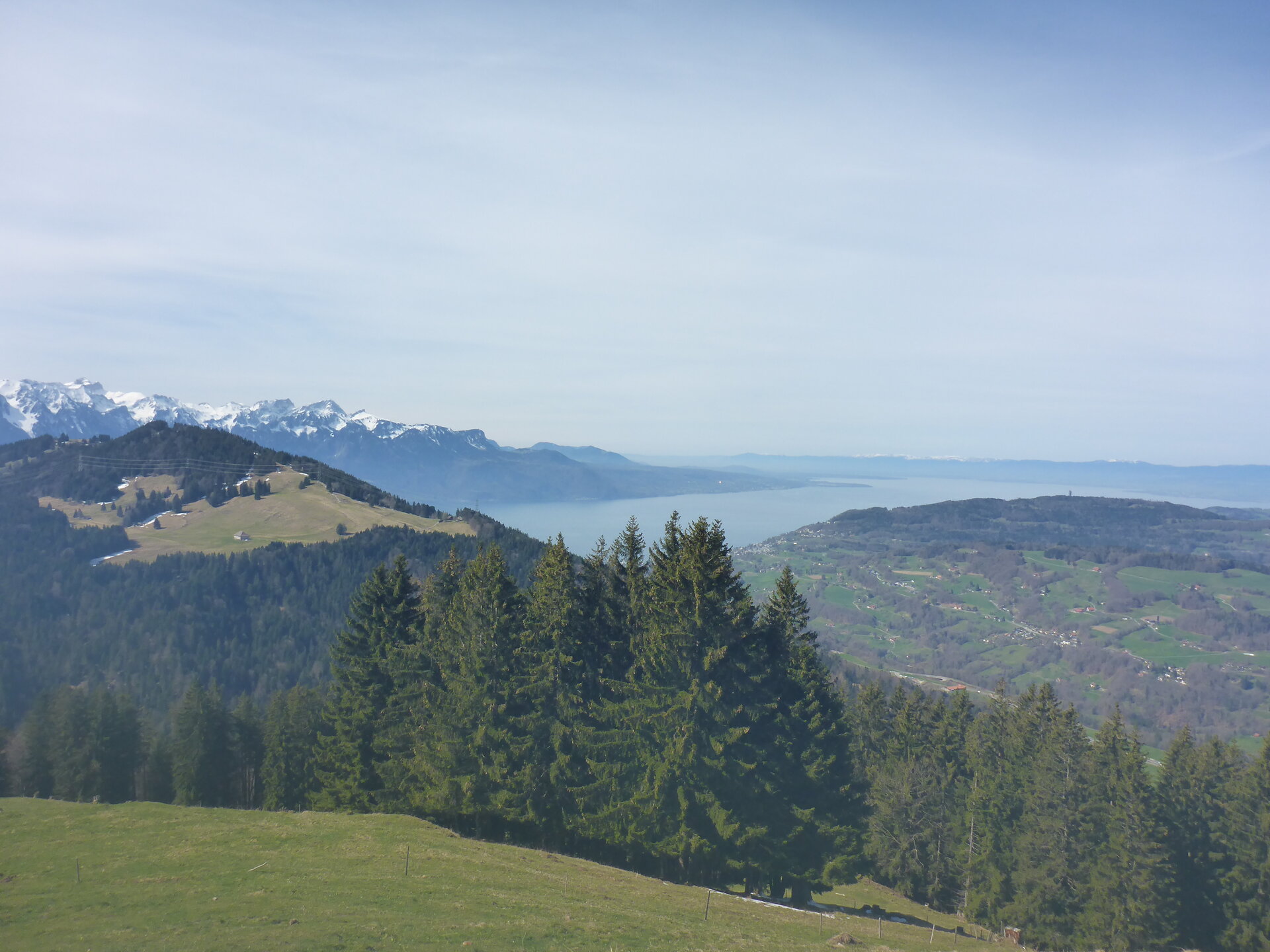
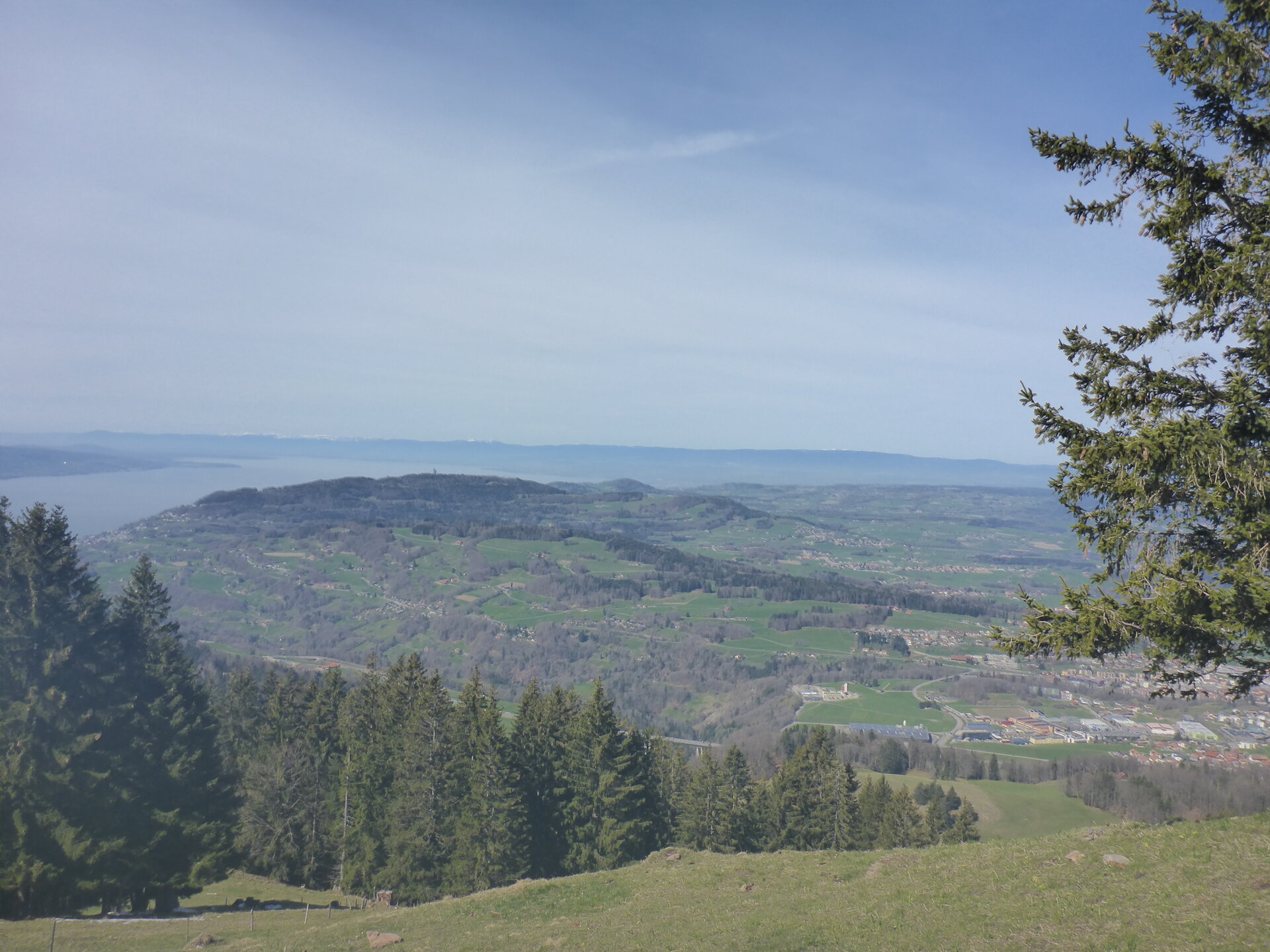
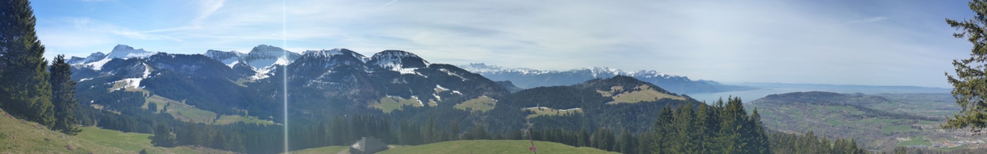
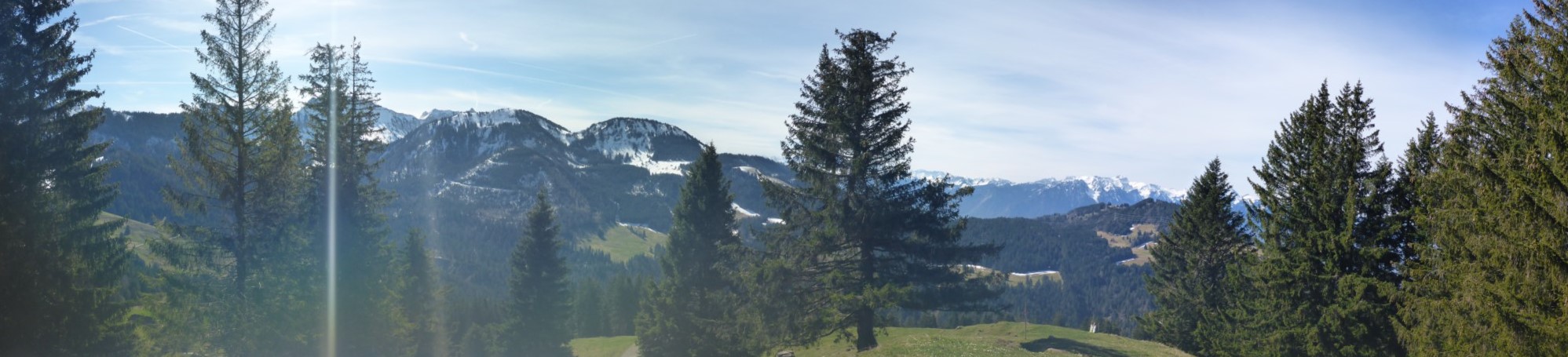
Aussicht:
Schwierigkeit:
T1
This was one of the most taff (only for me not Rene and Nikhil) hiking I have done so far, but I had lot of fun with my all friends, it will sure remain for a long time in my good memories.
Thanks again to Rene to arrange for me and my friend Nikhil.